|
| *****SWAAG_ID***** | 463 |
| Date Entered | 20/02/2012 |
| Updated on | 20/02/2012 |
| Recorded by | Tim Laurie |
| Category | Tree Site Record |
| Record Type | Botanical HER |
| Site Access | Private |
| Record Date | 18/02/2012 |
| Location | Muker CP. Rough pasture north of Usha Gap Bridge. |
| Civil Parish | Muker |
| Brit. National Grid | SD 903 982 |
| Altitude | 280m |
| Geology | Glacial drift over sandstone. |
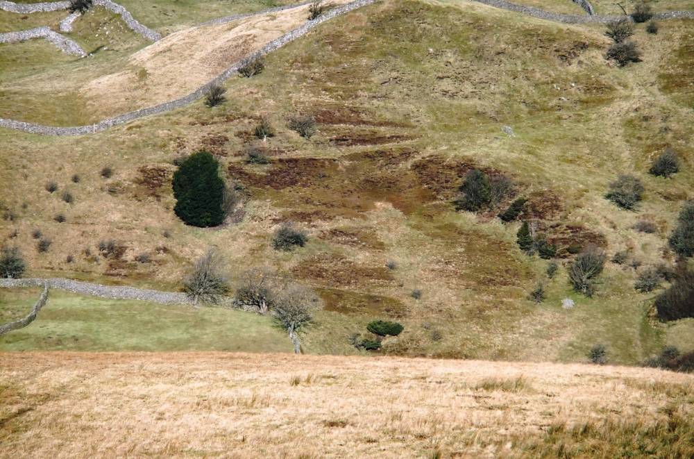
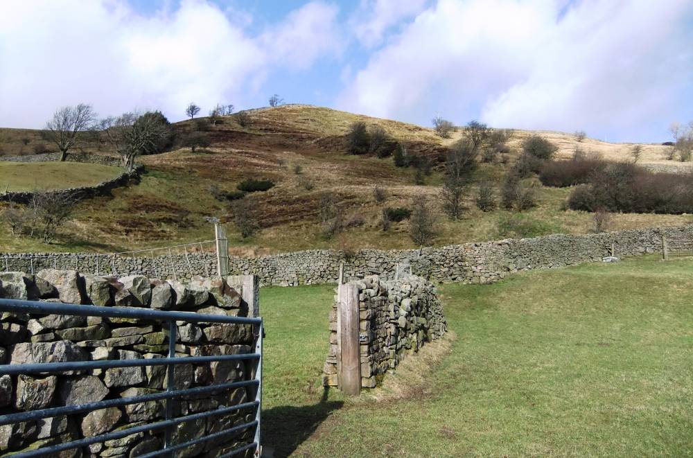
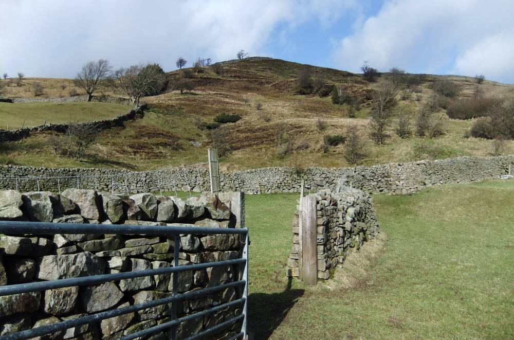
| Record Name | Usha Gap. Juniper with holly, hawthorn, rowan on south facing lower dale slope. |
| Record Description | Open scatter of aproximately 10-15 juniper bushes with hollies, hawthorn and rowan at 280m elevation on steep south facing hill side north of Usha Gap Bridge. |
| Dimensions | See photos |
| Geographical area | Upper Swaledale |
| Species | Juniper |
| Common / Notable Species | Juniper, Holly, Rowan, Ash on lower slope. |
| Additional Notes | Visible from public footpath . |
| Image 1 ID | 2315 Click image to enlarge |
| Image 1 Description | The prominent dark trees are two adjacent hollies, the junipers are difficult to see and scattered . |  |
| Image 2 ID | 2316 Click image to enlarge |
| Image 2 Description | | 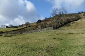 |
| Image 3 ID | 2317 Click image to enlarge |
| Image 3 Description | | 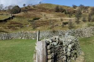 |
| Image 4 ID | 2318 Click image to enlarge |
| Image 4 Description | |  |
| Image 5 ID | 2319 Click image to enlarge |
| Image 5 Description | | 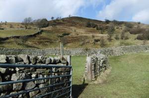 |